

12 checkpoints in Spain

Pamplona – Castle San Cristóbal
Castle San Cristóbal, high above Pamplona, is Checkpoint 1 at km 100 and offers a spectacular view over the city and the surrounding countryside.
The fortress was built between 1879 and 1919, during the period of the Carlist Wars, as a strategic defence of Pamplona. From 1930 onwards, the complex was used as a prison.
During the Spanish Civil War, the fortress became a notorious prison. Around 2,000 political prisoners were held here, many of them under extremely harsh conditions. The prison was the scene of a major escape attempt in 1938, when hundreds of prisoners broke out, although most were recaptured.
Today, the fortress stands quietly above Pamplona, its impressive walls hiding a dark chapter of Spanish history.
Molina de Aragón – Castillo
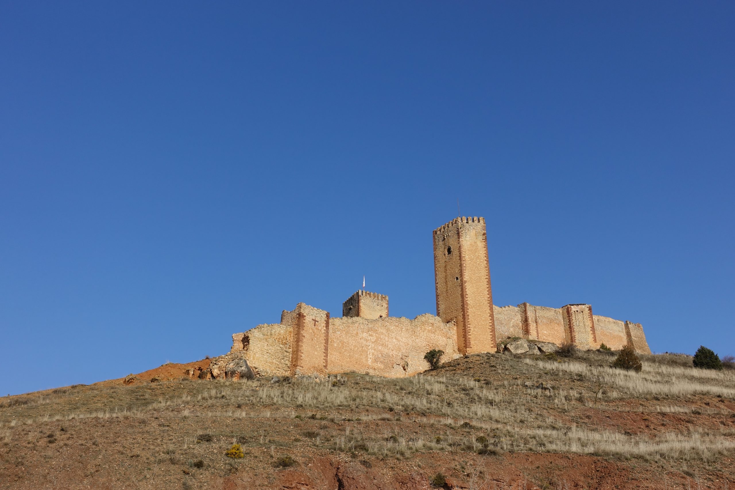
The Castillo de Molina de Aragón is one of the largest and most impressive medieval fortresses in Spain. Rising above the town of Molina de Aragón, its long walls, towers and battlements dominate the surrounding landscape.
Built on the remains of an earlier Muslim fortress, the castle became an important stronghold during the medieval struggles between Christian kingdoms and the Muslim territories to the south.
Today, the fortress stands above a remote and rugged part of Castilla-La Mancha – a fitting checkpoint for riders crossing the vast landscapes of central Spain.

Cuenca – Torre de Mangana
The Torre de Mangana stands in the heart of Cuenca’s historic old town, marking the site of the former Muslim fortress and later medieval city walls.
The tower has become one of the symbols of Cuenca, rising above the city with its distinctive clock and offering views across the surrounding landscape. From here, the route continues through one of the most spectacular and historic regions of central Spain.
Cuenca is another reminder that this journey is not only about distance and climbing – it also takes riders through centuries of Spanish history.
Castillo de Alarcón
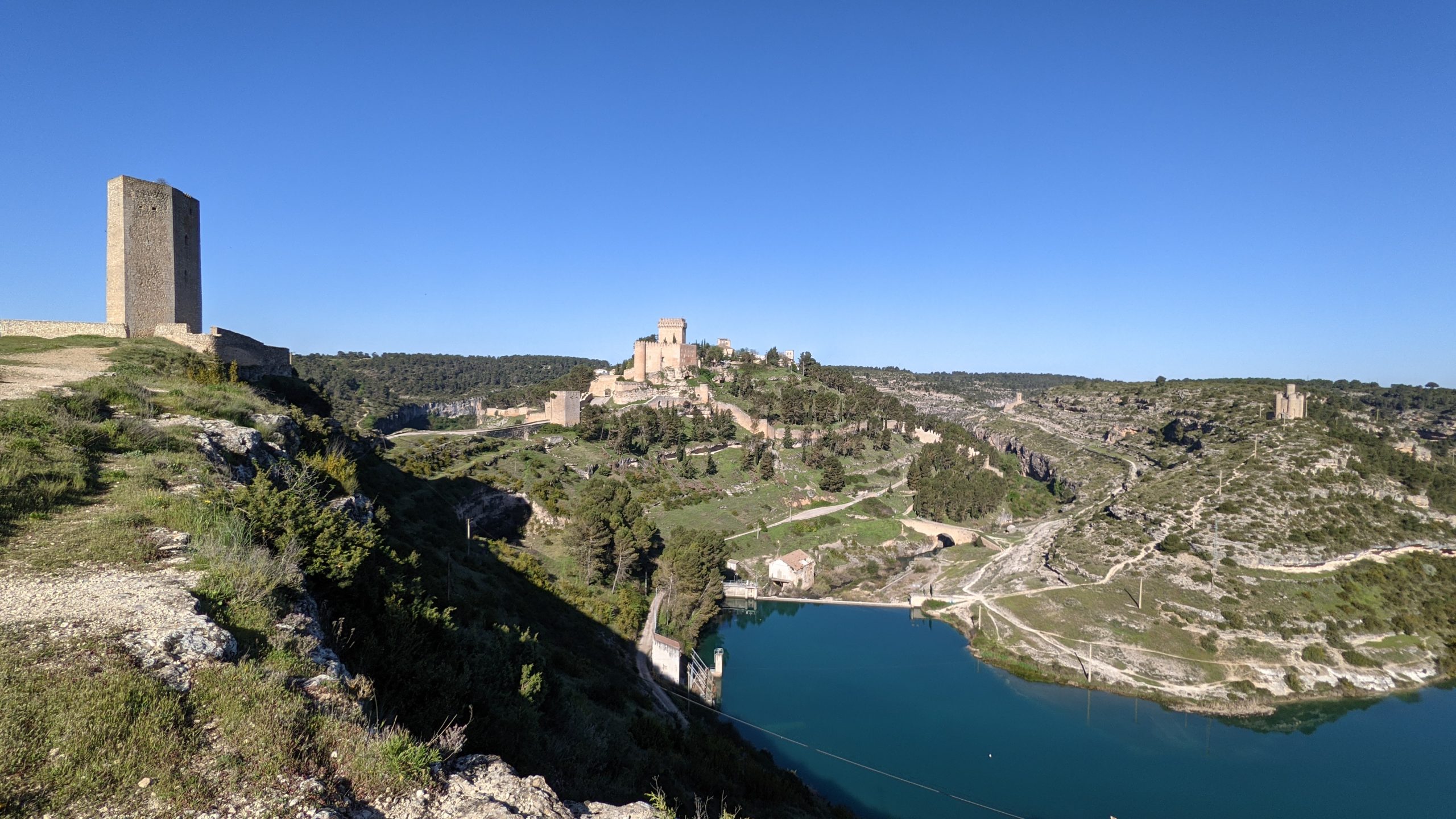
Rising dramatically above the Júcar River, the medieval Castillo de Alarcón dominates the small hilltop village of Alarcón.
The castle dates back to the Muslim period and was later expanded after the Christian reconquest. Surrounded by ancient walls and perched above the deep river gorge, it makes an impressive landmark on the route through central Spain.
After the long open roads of the surrounding countryside, the arrival at Alarcón feels like a journey back in time – another of those unexpected historic places that make the Spanish section so special.
Gorafe desert
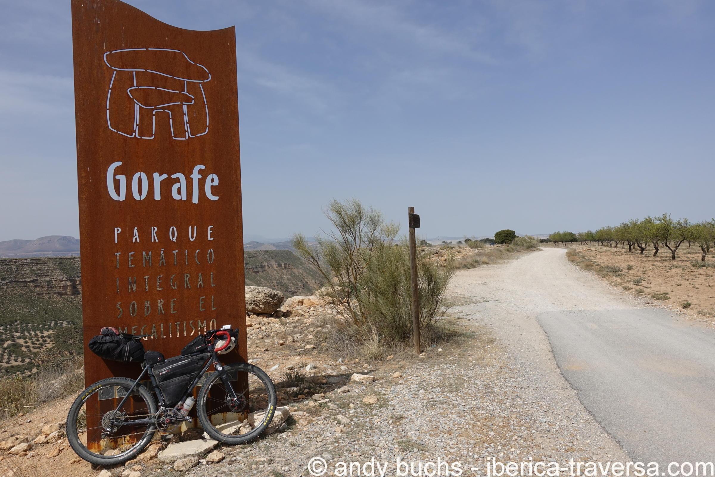
The Gorafe Desert is one of the most unusual landscapes in Andalucía. Deeply eroded clay formations, barren valleys and dramatic ridges create a landscape that feels more like the American Southwest than southern Spain.
The route crosses this remote and rugged terrain on the way east, with the small village of Gorafe as a natural landmark in the middle of the desert. After the green landscapes around Granada, the sudden change in scenery makes this section especially memorable for riders.
A true taste of the wild side of Andalucía.
Pico del Veleta
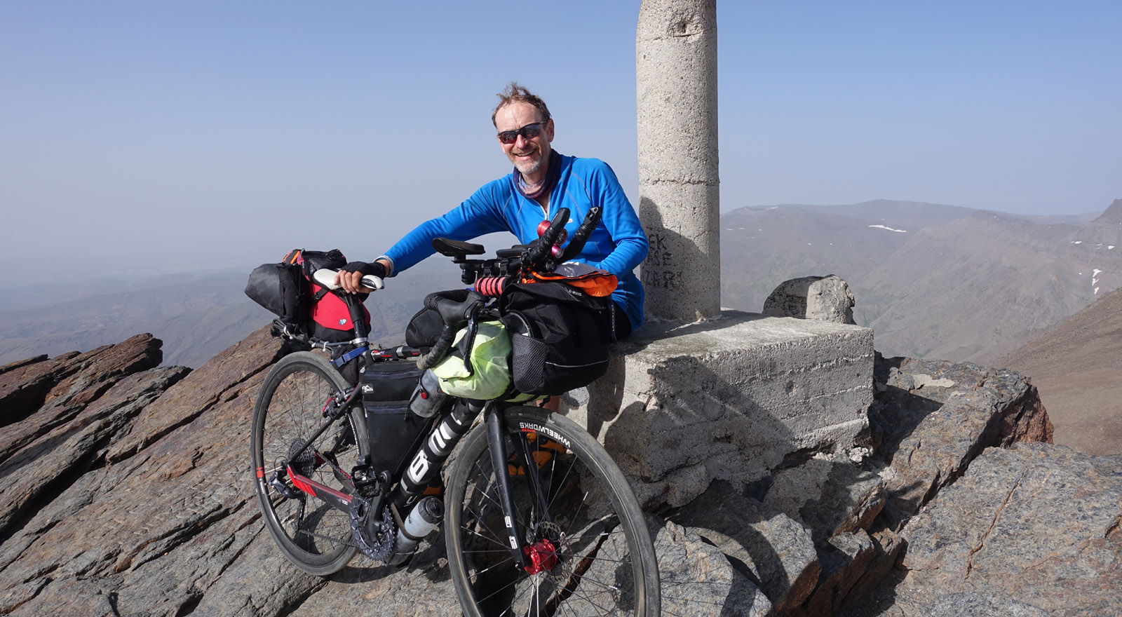
At 3,398 metres, the road up Pico del Veleta is the highest paved road in Europe and the highest point of the route. The road climbs deep into the Sierra Nevada, offering spectacular views over the mountains and, on clear days, far across Andalucía.
The final kilometres are remote and exposed, with the landscape becoming increasingly alpine as you climb towards the summit.
Please note: this checkpoint must be reached in daylight. Riding the final section after dark is not permitted.
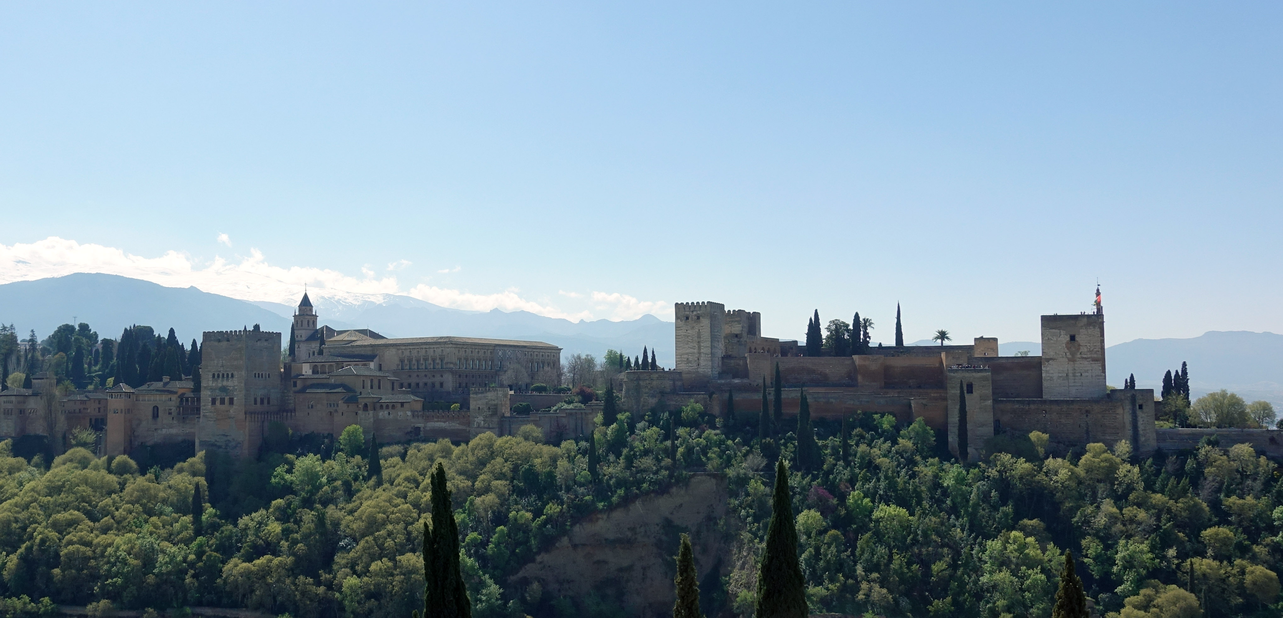
Granada, Plaza Mirador de San Nicolás
“The best view of the Alhambra in the city. Gateway to the Sierra Nevada.” – Jesse Blough, 2019
The Mirador de San Nicolás is one of Granada’s most famous viewpoints, offering a spectacular panorama of the Alhambra with the snow-capped peaks of the Sierra Nevada rising behind it.
Located in the historic Albaicín quarter, the viewpoint is surrounded by narrow streets, whitewashed houses and the atmosphere of old Granada. For riders, it is a memorable checkpoint – and a chance to take in one of the great views of Andalucía.
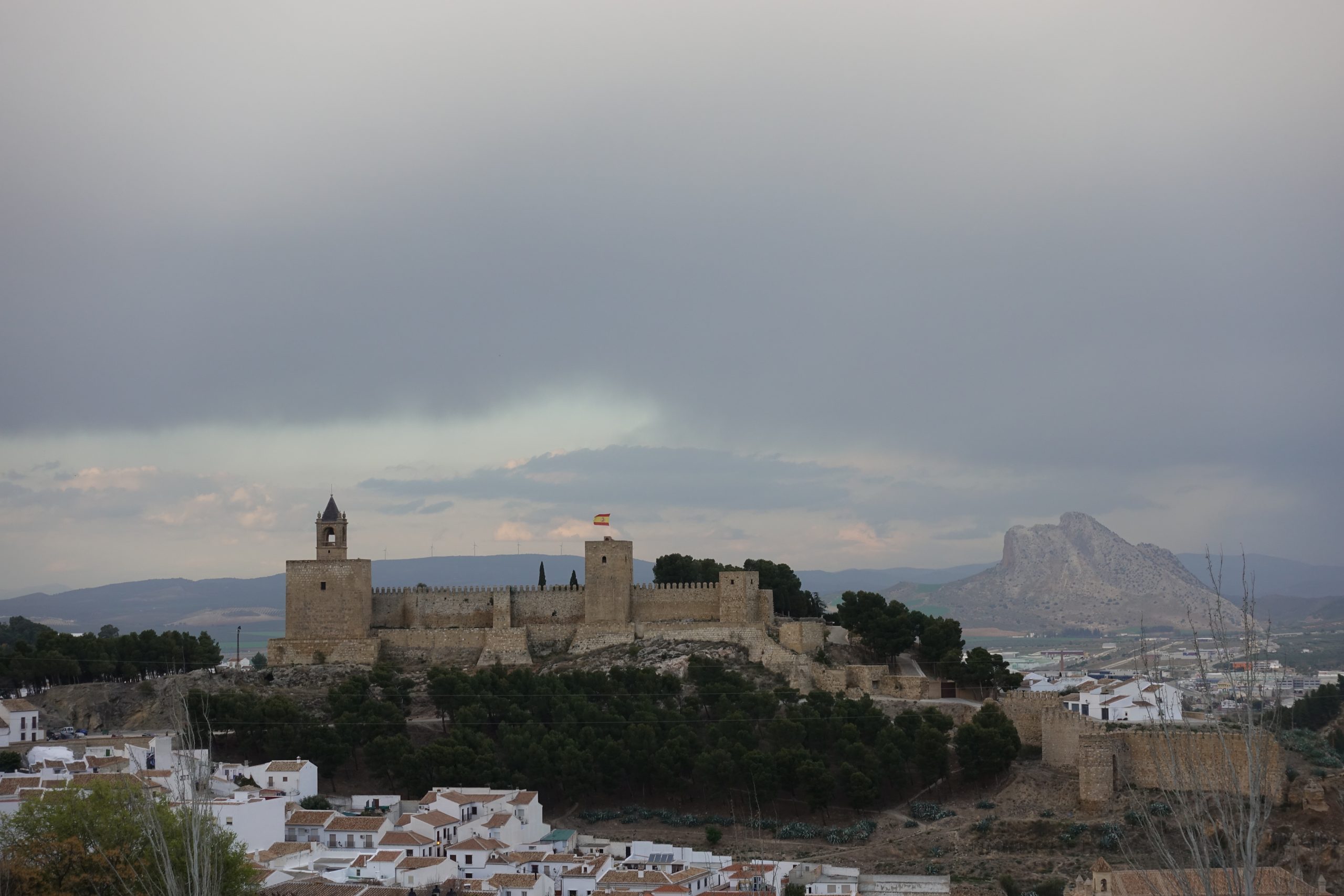
Antequera – Castillo de Papabellotas
The Castillo de Papabellotas stands high above Antequera, overlooking the historic town and the surrounding landscapes of Málaga province.
The castle dates back to the Muslim period and is one of the most prominent landmarks of Antequera. Its elevated position makes it an impressive arrival point for riders – and a good place to look back at the kilometres already covered across Andalucía.
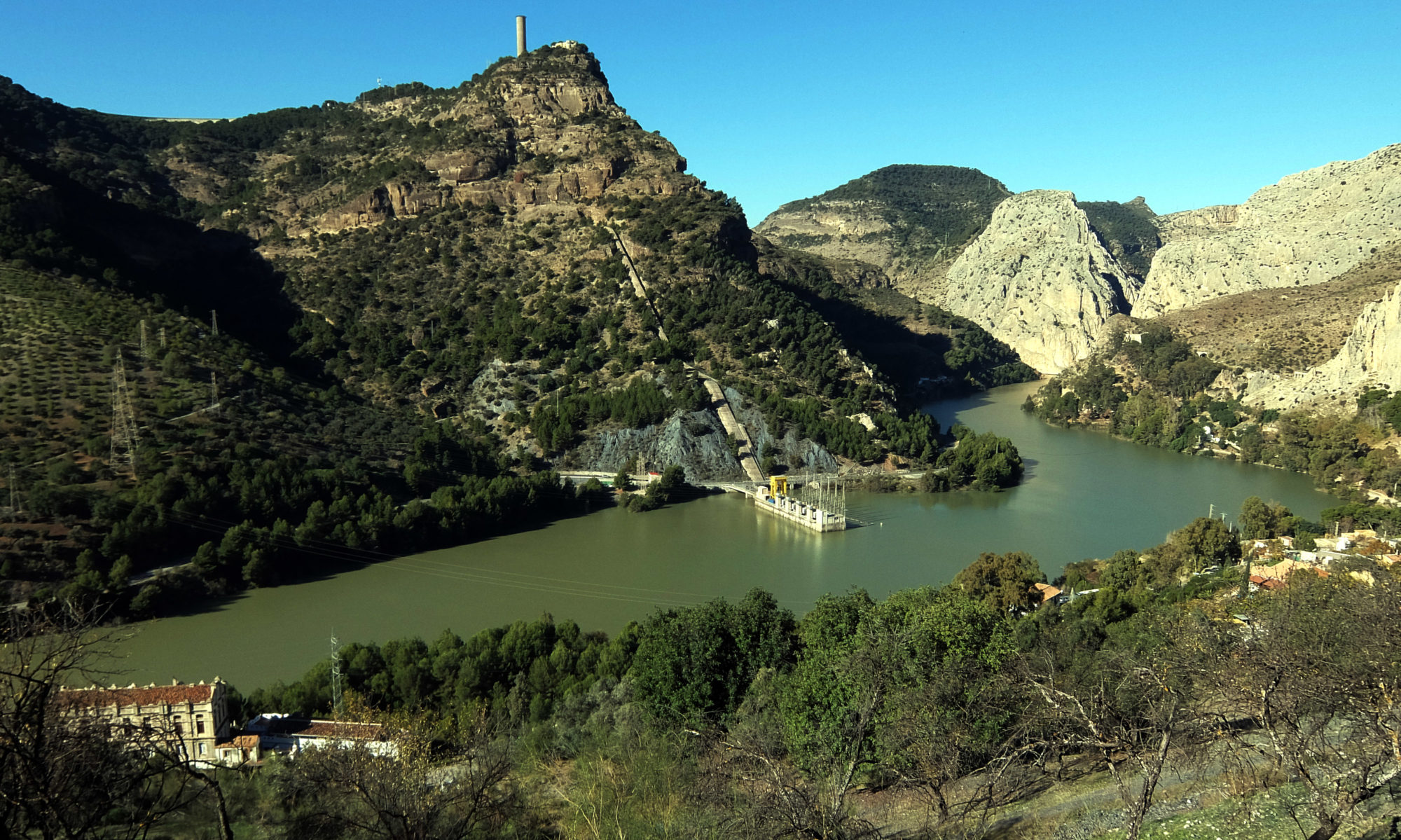
El Chorro – Caminito del Rey
El Chorro is one of the most spectacular places on the route through southern Spain. The area is famous for the Caminito del Rey, a spectacular walkway suspended high above the narrow Gaitanes Gorge.
Our route passes through this dramatic landscape, with steep rock walls, deep gorges and the turquoise waters of the Guadalhorce reservoirs. It is a place where the scenery makes even a short stop memorable.
For the riders, El Chorro is more than just another checkpoint – it is one of the visual highlights of the Spanish section.
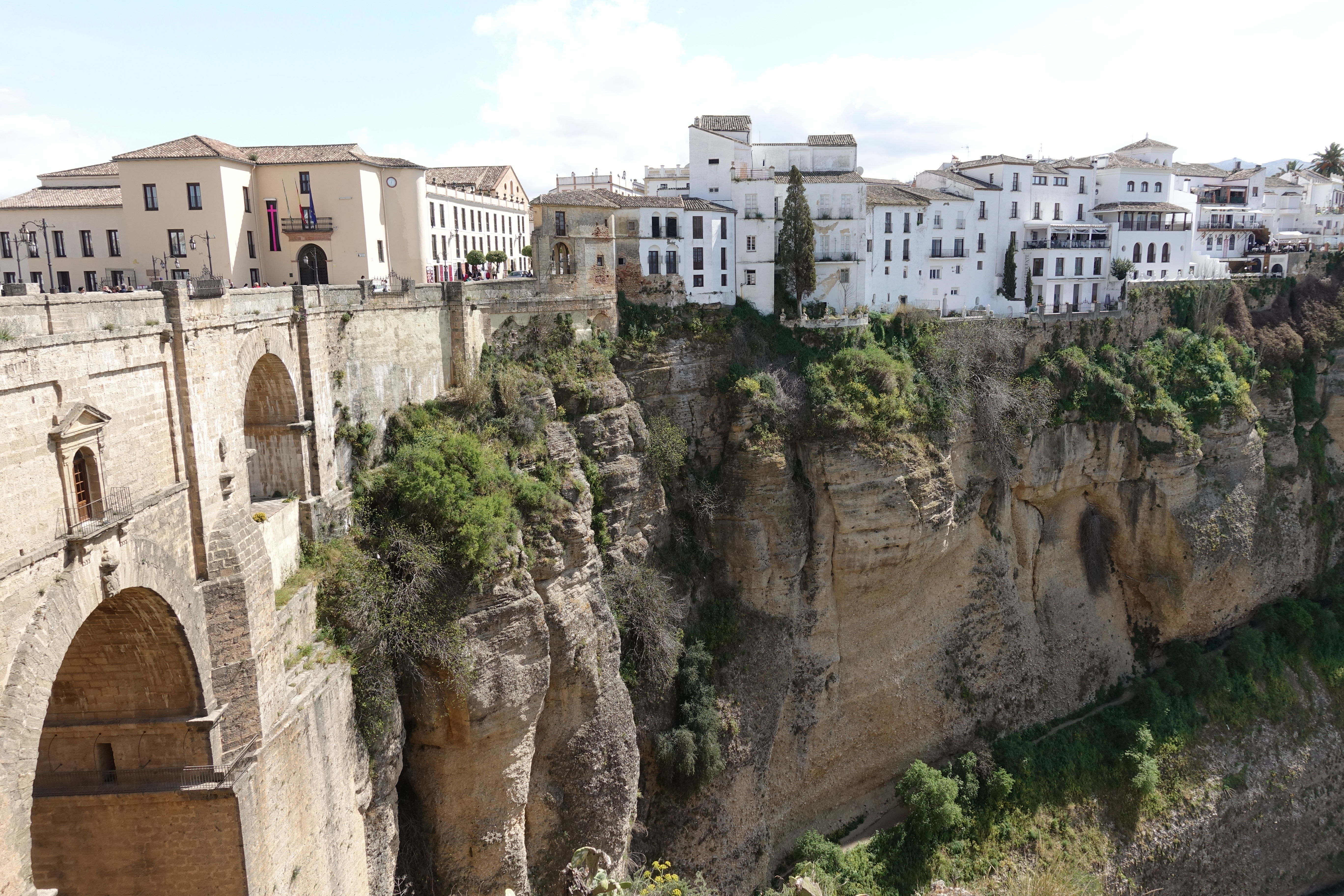
Ronda, Puente Nuevo
“A huge old bridge into a beautiful Andalucian city.” – Jesse Blough, 2019
Ronda is one of the most spectacular towns in Andalucía, dramatically perched above the El Tajo gorge. Its iconic Puente Nuevo spans the gorge and has become one of the most recognizable landmarks in southern Spain.
For riders, Ronda is a memorable landmark on the way south – a place where the impressive landscape, historic town and legendary bridge come together. From here, the route continues towards Tarifa and the southern tip of Europe.
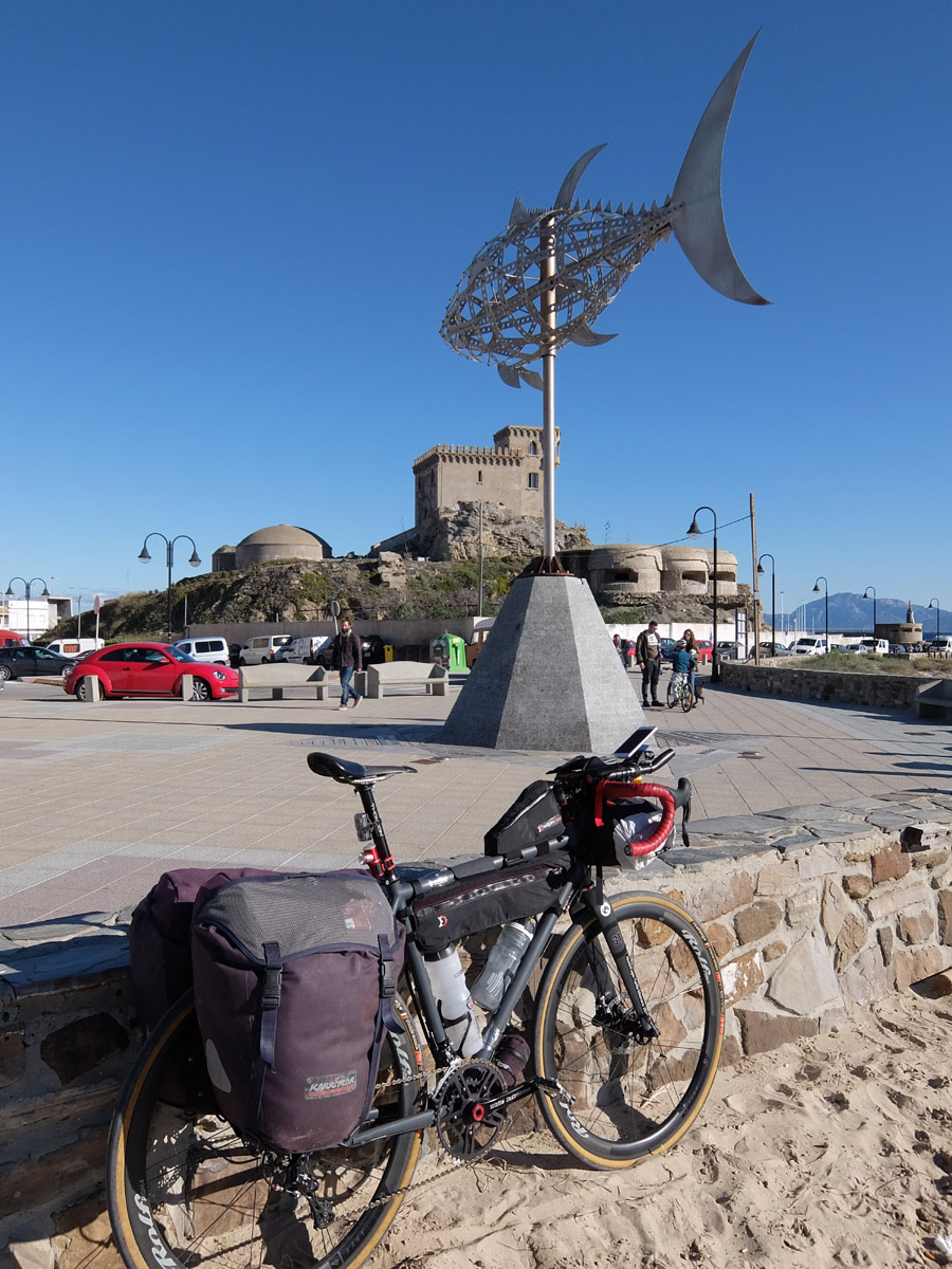
Tarifa
The Tuna Sculpture – Tarifa
Over the years, the Tuna fish sculpture has become a legendary landmark for our participants. NorthCape-Tarifa, Iberica-Traversa and 45-SouthWest all finish at this iconic spot in Tarifa — the southernmost point of the European mainland.
For 2-Continents riders, Tarifa marks the end of the Spanish section before the route continues across the Strait of Gibraltar to Morocco.
11 checkpoints in Morocco

Chefchaouen
It is the chief town of the province of the same name and is noted for its buildings in shades of blue, for which it is nicknamed the “Blue City”.
It was founded in 1471 by the Moulay Ali Ben Rachid, a distant descendant of the Islamic Prophet Muhammad. The original settlement consisted of just a small fortress, now referred to as Chefchaouen’s Kasbah. The fortress was erected to help defend the area from potential attacks by Portuguese invaders; at the time, Portugal was launching attacks against northern cities and towns in Morocco.
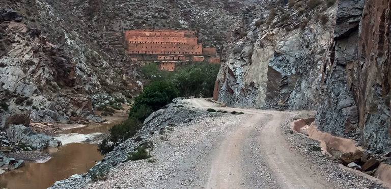
Ahouli mines
Ahouli is an abandoned mining village in Midle Atlas. Once one of the most important lead deposits in Morocco, the nearby Ahouli and Mibladen mines are now abandoned. It is located on a valley along upper Moulouya river, about 25 kilometers north from Midelt.
The French company Penarroya operated the sites from 1928 to the 1960s, employing hundreds of Moroccan workers and producing tens of thousands of tons of lead annually, most of which was exported to France.

Tizi Tigherrhouzine 2709m
Col de Tizi Tigherrouzine is a high mountain pass at an elevation of 2,709m above sea level, located in the Drâa-Tafilalet region of Morocco. It’s one of the highest roads of the country. The climb starts at Agudal 2,340m above sea level.
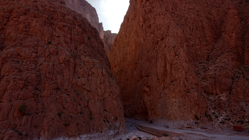
Todgha Gorge
Deep in the rocky Atlas Mountains lies the dramatic scenery of the Todra Gorge (called locally Todgha Gorge), a natural oasis created by the River Todra carving its way through limestone for many centuries. The gorge looks almost prehistoric with canyon walls that reach over 400 metres in height
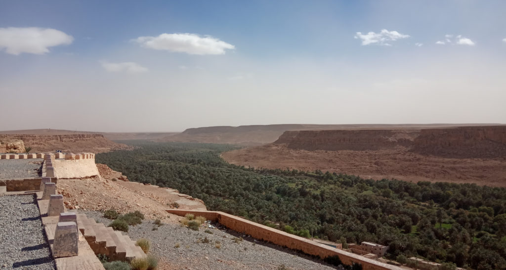
Valée de Ziz
The Valée de Ziz is the biggest palm oasis in Morocco. The palm trees spans over about 70km along the Ouet Ziz canyon.
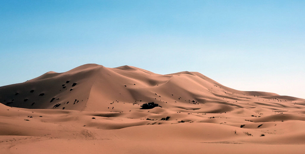
Erg Chebbi
In places, the dunes of Erg Chebbi rise to 150 meters from the surrounding hamada (rocky desert) and altogether span an area of approximately 28 kilometers from north to south and 5–7 kilometers from east to west lining the Algerian border.
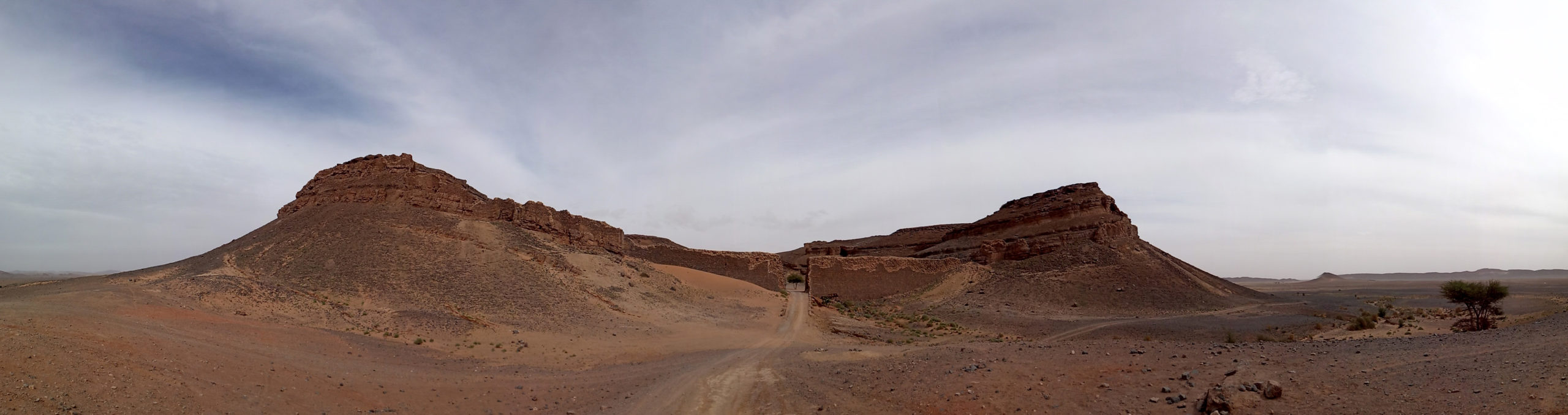
La Cárcel Portuguesa
This crater was used as a film stage for a James Bond film, as well as the Brendan Fraser blockbuster film, The Mummy. The Mummy (1999) is set in Egypt, but filmed mostly in Morocco. In the southeastern Moroccan desert, an entire set was built for the fictional Egyptian city, Hamunaptra. The set for this fictional city was constructed in a dormant volcanic crater close to the real-life oasis town, Erfoud.

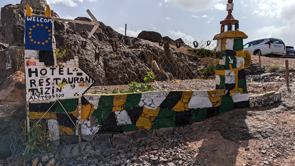


Tizi n’Tazazert 2283m
The Tizi n’Tazazert at an elevation of 2,283m above sea level connects Ikniouen with N’Kob. The road is paved since 2021. At the summit, there are a café, a restaurant, and an auberge. 2km south of the summit is another auberge with breathtaking views.
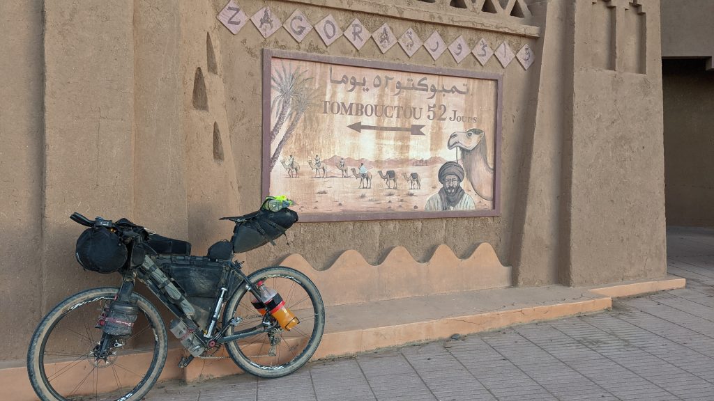
Zagora
The gateway to the desert. Zagora is nestled in the sumptuous Draa Valley, and presents a stunning natural contrast. The panel “Tombouctou 52 jours” is the last evidence of the city’s time as a caravan station.
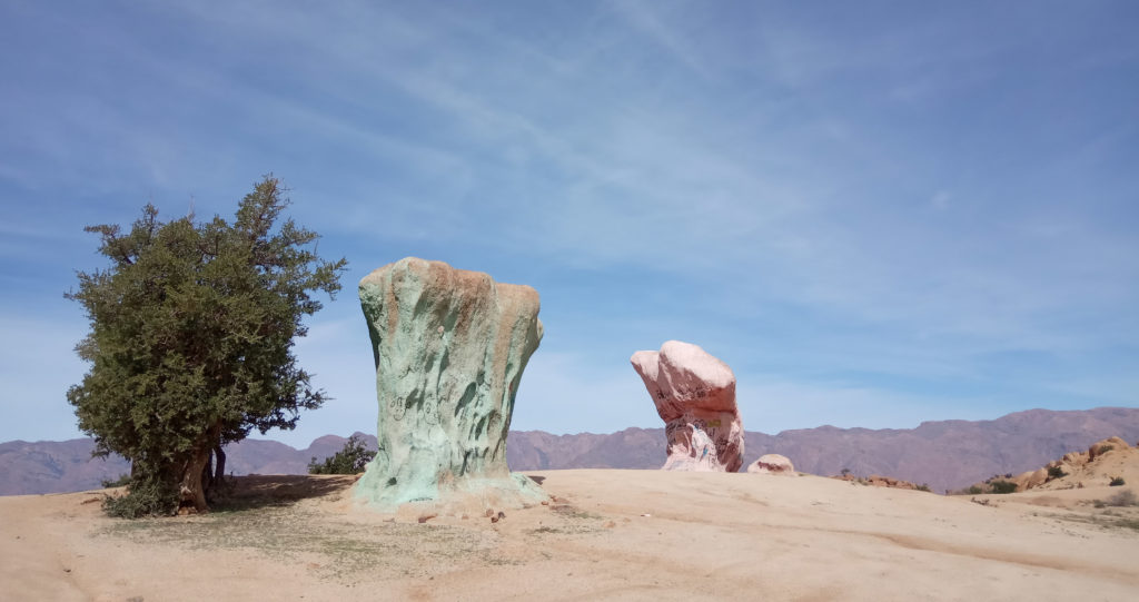
The blue rocks
Nestled in the magnificent Almenn valley, the village of Tafraoute is surrounded by famous blocks of pink granite. In the middle of this setting is one of the most surprising artistic creations of the region: The Blue Rocks.
In 1984, the Belgian artist Jean Vérame found inspiration for his astonishing work in the center of granite blockfield. He colored the rocks of this desert region, mainly using a lot of blue paint.
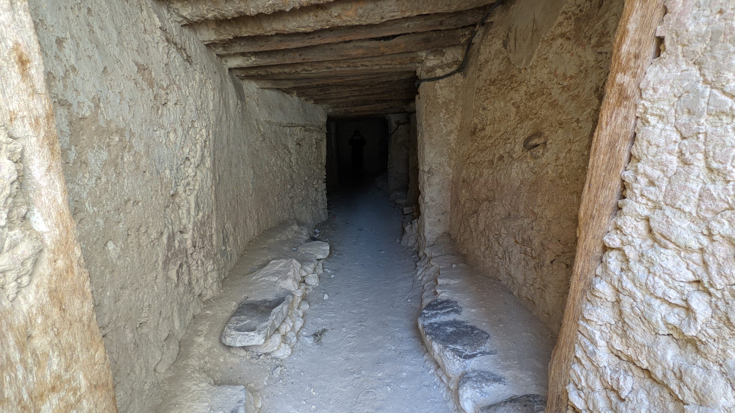
Icht
Icht is a small town located in the Draa-Tafilalet region of southeastern Morocco. It overlooks the Jbel Bani, the nearby escarpment which often reflects beautiful orange sunsets.
From a distance, Icht appears to be a typical village of the region. Despite this, the kasbah is unique as it is located meters underground. At the ground level, small doors lead to a labyrinth of underground alleys that serve the various houses. Sometimes exceeding 3 floors. Each house is bridged by a big skylight, which illuminates and ventilates the rooms dug into the earth.
Tizi n’Tazazert 2283m
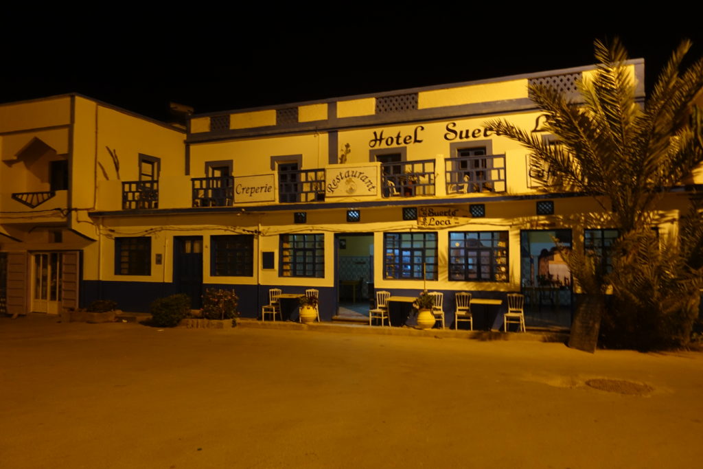
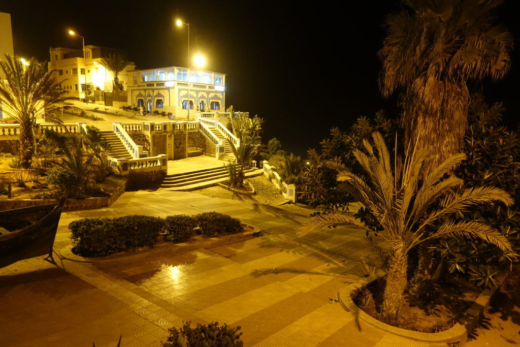
Sidi Ifni is a city located in southwest Morocco, on the shores of the Atlantic Ocean. It has a population of approximately 20,000 people and the economic base of the city is fishing.
Sidi Ifni served as a Spanish port city from the mid-19th century until it was ceded to Morocco in 1969. From the 1930s until the late 1960s, the town hosted a large Spanish population.
Sidi Ifni is known as a surf spot. Just a few meters from the finish you get the chance for some surf lessons.